Two Routes, One Decision
Both start and end in Tasucu. Both maximize offroad. They diverge in character and altitude.
Your original backbone route — a loop through canyon country, karst plateaus, and yayla highlands. Deep gorges, turquoise reservoirs, and forest roads through the Taseli Plateau.
A west-to-east traverse through canyon heartland, climbing to the Geyik Daglari alpine zone at 2,800m. Documented by commercial expedition operators with GPS tracks available.
Elevation Profiles
How altitude changes across the 5 days. Dots mark overnight camps.
Route Maps
Interactive map with satellite view. Toggle routes on/off. Click waypoints for details.
What to Expect
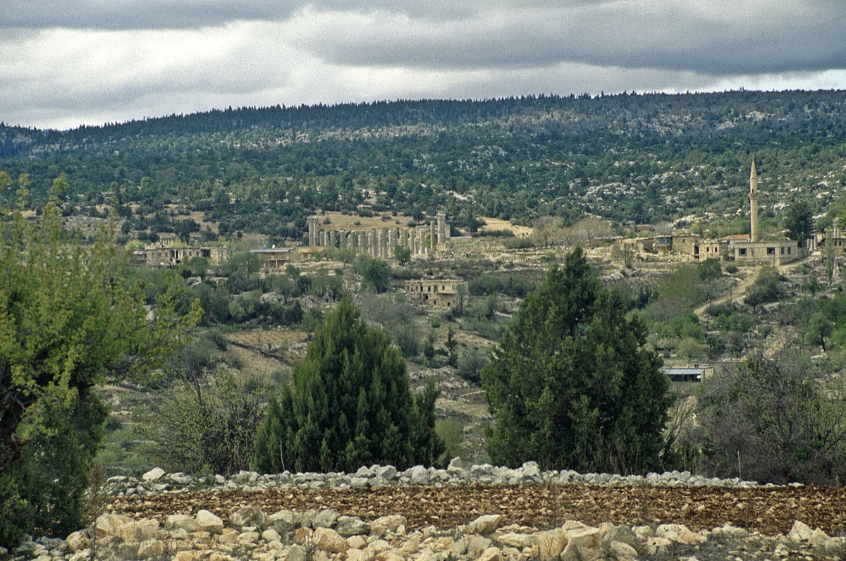
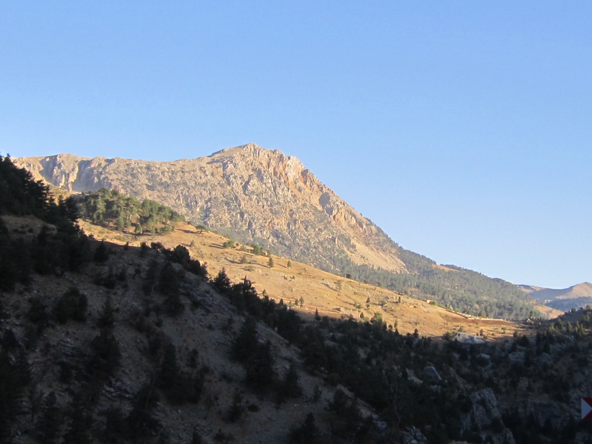
Terrain, landscapes, and atmosphere along the routes. Click any image to enlarge.
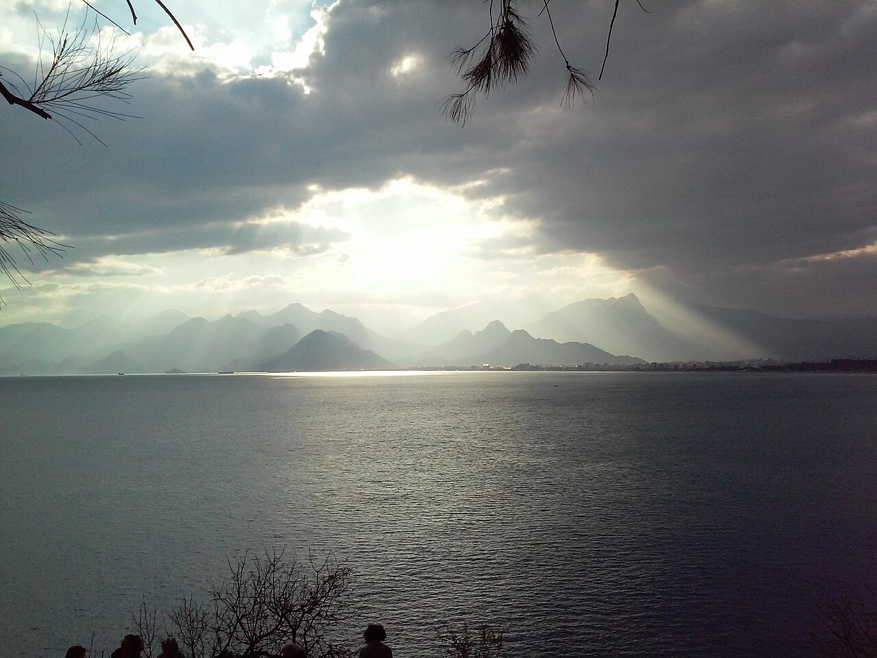
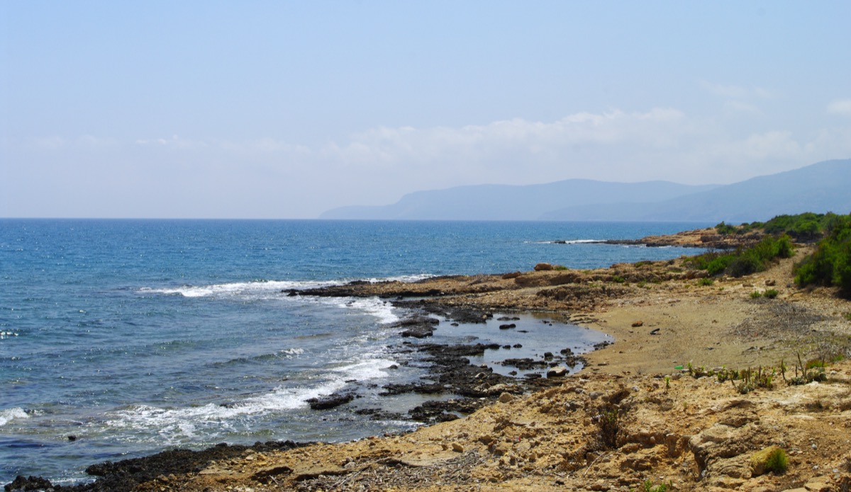
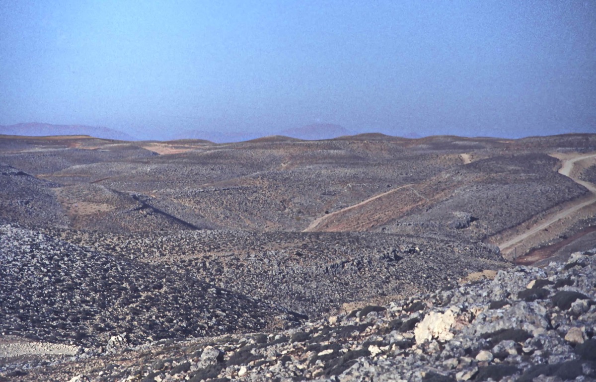
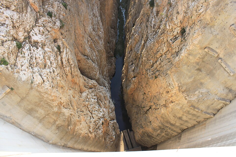
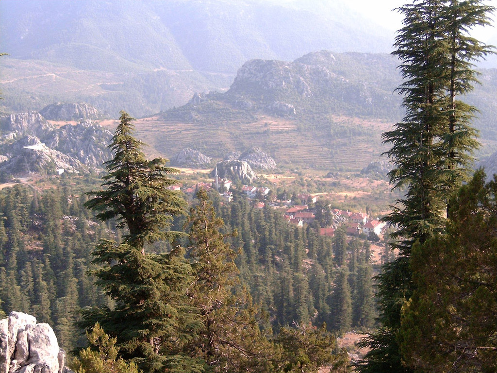
All photos: Wikimedia Commons (CC BY-SA)
Day-by-Day Comparison
Side-by-side breakdown of each day. Both routes share Days 1-2, then diverge.
Tasucu → Gulnar backroads
- Jeep team preps in Tasucu while waiting for flyers from COV (~18:00)
- Full crew assembled — load up and head north immediately
- Option: via Uzuncaburc (1,200m) — forest roads northward toward Gulnar
- Alternative: Silifke-Bescatal-Gulnar backroad
- 750km of unpaved tracks in Gulnar district — pick a line on Gaia GPS
Tasucu → Gulnar backroads
- Same as Route A — both routes share Day 1
- Meet at Tasucu ~18:00, head north into the hills
- Forest roads through dense Taurus foothills
- Satellite imagery shows dirt tracks through forest canopy
- Short evening drive to get off the coast and into mountains
Gulnar → Mut → Sertavul Pass → Ermenek
- Mountain tracks parallel to D715 between Gulnar and Mut (village roads, ~34km)
- Sertavul Pass (1,610m) — best documented offroad playground on the entire trip. Multiple dirt roads branching 14-25km to surrounding villages
- Wikiloc trail #31568904 (Sertavul gecidi Teyyare meydan) for GPS reference
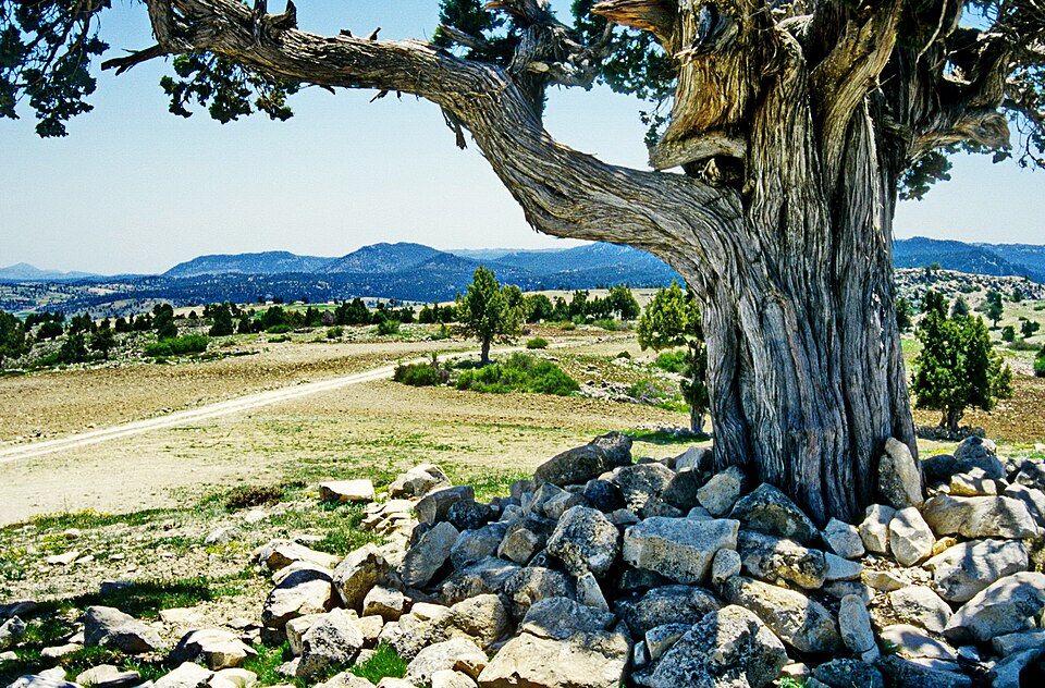
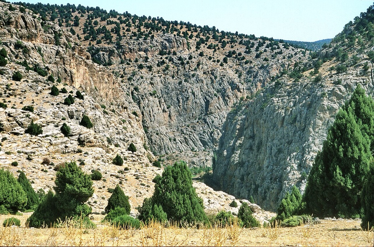
- Karst landscape: limestone rocks, sinkholes, treeless plateau, cushion plants
- Descend toward Ermenek via backcountry tracks and D340
Gulnar → Mut → Ermenek backcountry
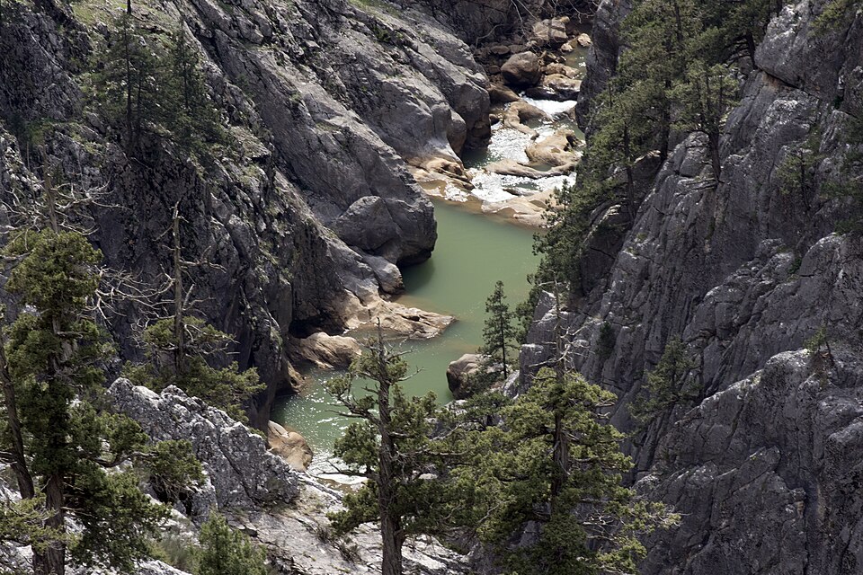
- Goksu gorge from Gulnar area toward Mut — spectacular canyon
- Detour to Yerkopru Waterfall (9km off main road) — Goksu emerges from 500m underground passage
- Turn onto Bucakkisla / Nunu Vadisi backcountry tracks (documented Wikiloc GPS trail)
- Karst plateau at 1,400-1,800m — remote, no services, genuine expedition terrain
- Skip Sertavul Pass to save time for later stages
Ermenek → Taskent via backcountry
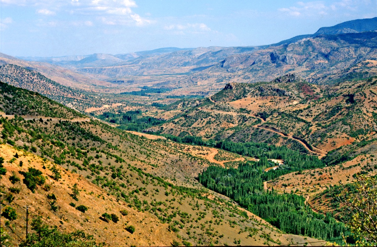
- Forest roads through the Taseli Plateau — one of Turkey's most sparsely populated regions
- Via Basyayla and Sariveliler — forest management dirt tracks
- Ermenek Forest Directorate maintains unpaved roads through 16,650 hectares
- Wikiloc enduro trail #51701130 covers part of this corridor
- Remote village connections, loose rocks, steep sections
Ermenek → Hadim → Taskent canyon country
- Ermenek-Balgusan-Bayir forest roads (documented Wikiloc dual-sport trail)
- North through Taseli karst plateau via Sariveliler/Basyayla backcountry. Elevation 1,500-2,000m
- Push toward Hadim — Gurleyen Canyon (12km long, 400-500m walls, narrows to 1.2m)
- Poljes, dolines, exposed limestone — genuinely remote terrain
- Entire days can pass with no villages, no phone, no other vehicles
Taskent exploration day
- Bogazici corridor — 27km through canyon terrain with steep rocky cliffs east of Taskent
- Kusyuvasi (Bird's Nest) pass — precipitous mountain road, "endless precipices on one side and rock outcrops on the other"
- Gevne Valley yaylas — shepherd plateaus accessible by forest road, up to ~2,000m
- Exploration loop: Taskent → Bolay → Avsar → Sazak → Balcilar and back
- Cedar/pine forests, cherry and apple orchards, mountain springs
Taskent → Geyik Daglari alpine zone
- Head west from Taskent toward Akseki approach roads
- Follows the Overcross motorcycle expedition framework (Day 5: 190km, 90km gravel)
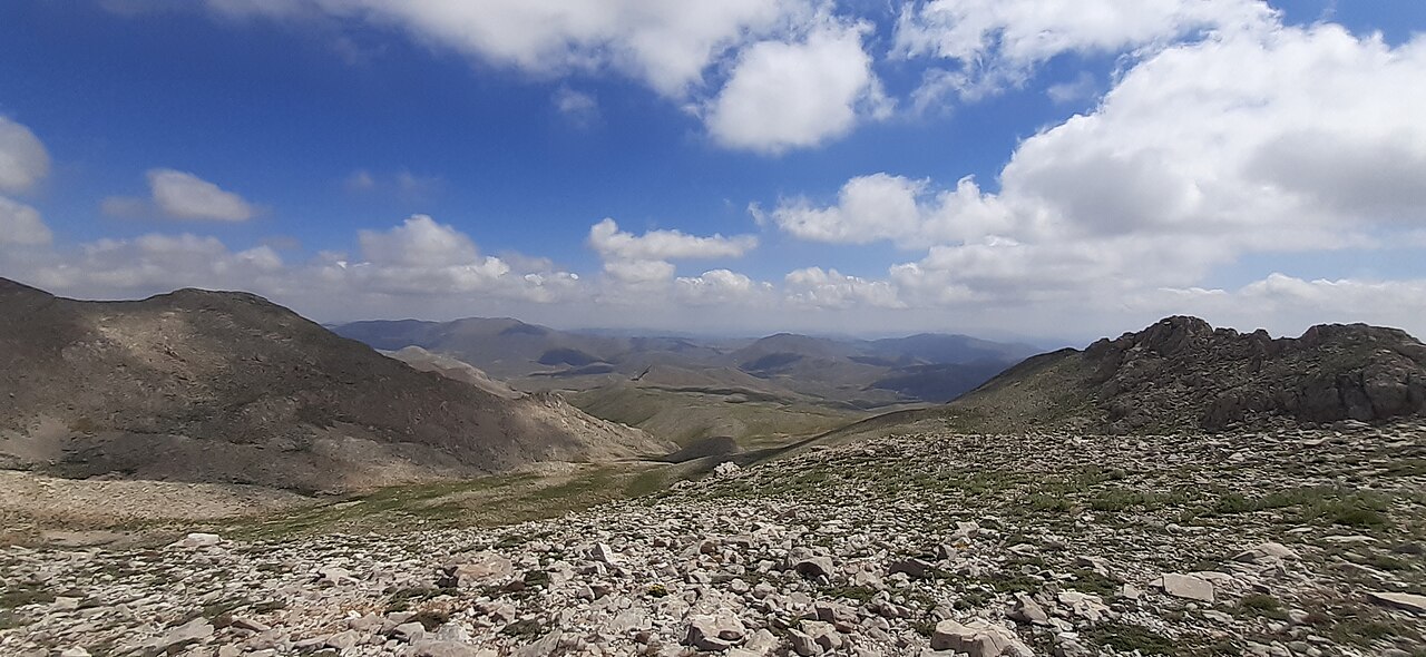
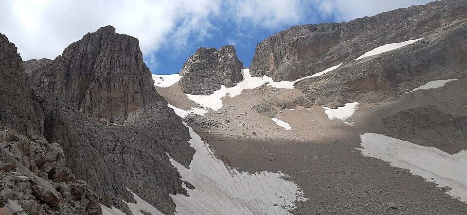
- Geyik Daglari range — peaks to 2,875m, described as "landscape like from another planet"
- Ancient caravan routes through cedar forests at altitude
- Yedikaza / Egrigol Plateaus at ~2,350m — high alpine meadows
- Equinox Travel runs a commercial 4x4 Geyik Daglari tour in this area
Taskent → Sariveliler → Gulnar → Tasucu
- Mountain roads south via Sariveliler — mix of gravel and smaller mountain routes
- Option: detour through yayla tracks between Sariveliler and Gulnar for more offroad
- Gulnar to Tasucu — descend back to coast via backroads (reverse of Day 1)
- Fuel up in Sariveliler (Aytemiz) or Gulnar (OPET)
- Arrive Tasucu by late afternoon — relaxed evening before Sunday ferry
Geyik Daglari → Akseki → coast → Tasucu
- Morning: technical descent from Geyik Mountains via forest roads
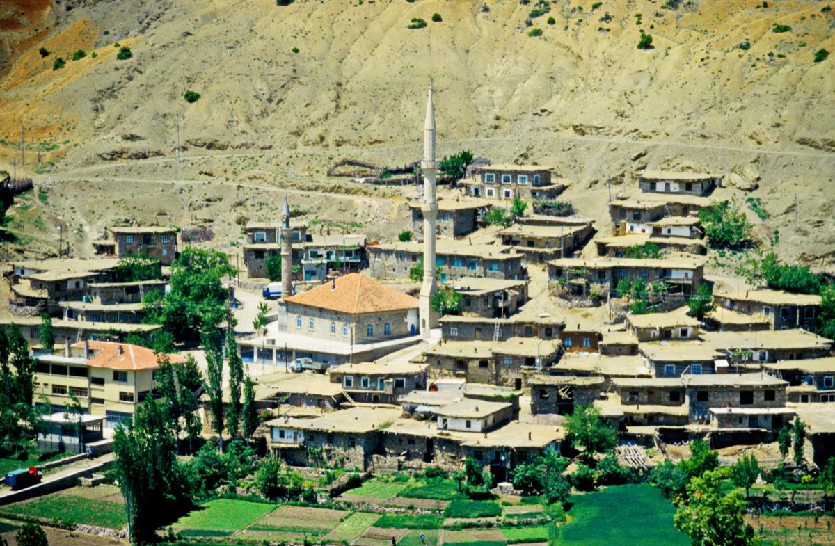
- Pass through Akseki area — option to see Ormana village (traditional "button houses")
- Descend to Mediterranean coast via mountain backroads
- D400 coastal highway east back to Tasucu (~200-250km highway section)
- This is the trade-off: more highway on the return for more alpine on Day 4
Fuel Strategy
110L capacity (70L tank + 40L reserve) = ~440km range at 1:4 consumption. Both routes have fuel at all key towns.
Logistics & Practical Info
Applies to both routes.
Phone & Navigation
- Turkcell — the only carrier with reliable mountain coverage
- Sil has a Turkcell eSIM — others get one before departure
- Download offline maps: Gaia GPS, Organic Maps, or OsmAnd
- Expect coverage gaps in deep valleys and on backcountry tracks
- Coverage confirmed in all towns along the route
Water
- Village fountains (cesme) are everywhere — stone fountains with spring water
- Sertavul Yaylasi has natural spring water system
- Mosque tap water available at every village
- Karst terrain = frequent mountain springs
- Carry 20+ liters but expect to refill from village fountains
Camping & Permits
- Wild camping technically illegal but universally tolerated and unenforced
- Yayla meadows are ideal: flat, grassy, often near water
- No military zone restrictions on either route
- Forest fire season active in late May — be aware of temporary closures
- Avoid camping near ancient ruins (may be mistaken for treasure hunters)
Temperature Expectations
- Coast (0m): Night 16-22°C
- Mid mountains (1,000-1,500m): Night 8-15°C
- High plateaus (1,500-2,000m): Night 3-10°C
- Alpine zone 2,500m+ (Route C only): Night 0-5°C, wind chill possible
- Meydan Plateau noted as "10+ degrees colder than nearby towns"
GPS Tracks to Download
- Sertavul Pass area trails — Route A Day 2
- Enduro Silifke-Mut-Ermenek — Both routes
- Ermenek-Nunu Vadisi-Bucakkisla — Route C Day 2-3
- Ermenek-Sapadere Canyon-Akseki (190km) — Route C Day 3-4
- Bolay Yaylasi-Ayi Bogazi Canyon — Route A Day 3-4
Emergency & Safety
- 112 — General emergency (unified dispatch)
- 156 — Jandarma (gendarmerie) — primary contact in rural/mountain areas
- 177 — Forest fire hotline
- 182 — AFAD (disaster/emergency management)
- Nearest hospitals: every district town (Silifke, Mut, Ermenek, Hadim) has a Devlet Hastanesi — basic, can stabilize. Serious trauma goes to Konya, Mersin, or Antalya (2-3h).
- Taskent has no hospital — nearest is Hadim (~30km)
- Mountain rescue = Jandarma JAK teams (call 156 with GPS coordinates)
- Garmin InReach recommended — SOS routes via GEOS to Turkish authorities
- Standard travel insurance may not cover offroad — verify explicitly
- EHIC does not work in Turkey — need separate coverage
The Verdict
Both routes deliver a serious expedition. Here's the trade-off.
Choose Route A if...
- You want the safest, most conservative option
- You prefer a tighter loop with less total driving
- Canyon and plateau terrain is enough — you don't need alpine
- You want maximum flexibility for exploration stops
- Less documented = more genuine exploration
Choose Route C if...
- You want the highest offroad percentage (50-60%)
- You want genuine alpine terrain at 2,800m
- Maximum landscape variety matters (coast, canyon, karst, alpine)
- You value documented GPS tracks for navigation confidence
- You're okay with ~200km of coastal highway on Day 5